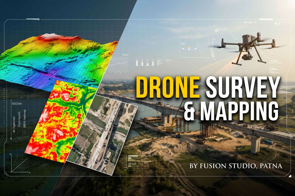
Fusion Studio, Patna is a leading provider of high-precision commercial drone survey, aerial progress monitoring, and photogrammetry mapping services across Bihar and India. We deliver end-to-end aerial photography, 4K video, and CAD-ready mapping deliverables tailored for highway, bridge, metro rail, and large-scale civil infrastructure projects.
Every aerial shoot is executed with full GPS accuracy and delivered with geo-tagged high-resolution photographs, chainage marking, right-of-way boundary indicators, and professionally edited progress videos featuring embedded real-time date, time, GPS coordinates, and location telemetry overlays.
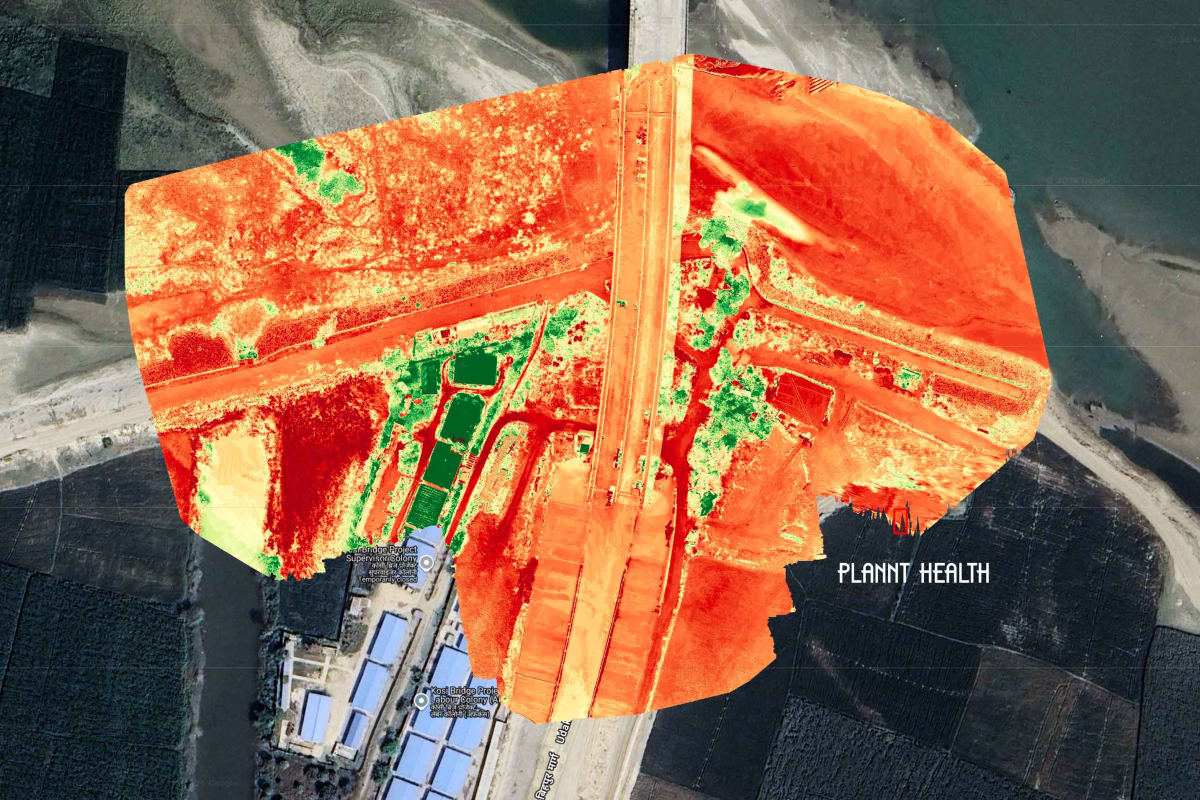
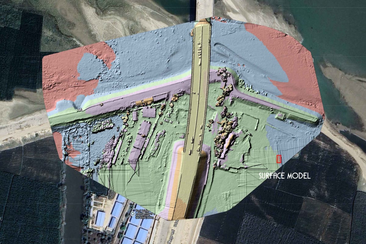
Our multi-year drone survey portfolio includes aerial progress monitoring for NHAI, MoRTH, Patna Metro, DMRC, Afcons Infrastructure (Kosi Bridge), the Mahatma Gandhi Setu, and the Varanasi–Aurangabad highway corridor. We also provide geo-referenced orthomosaics, digital surface models (DSM), 3D elevation contours, and AutoCAD-compatible engineering files for complete technical reliability.