
Orthomosaic High-Res Maps
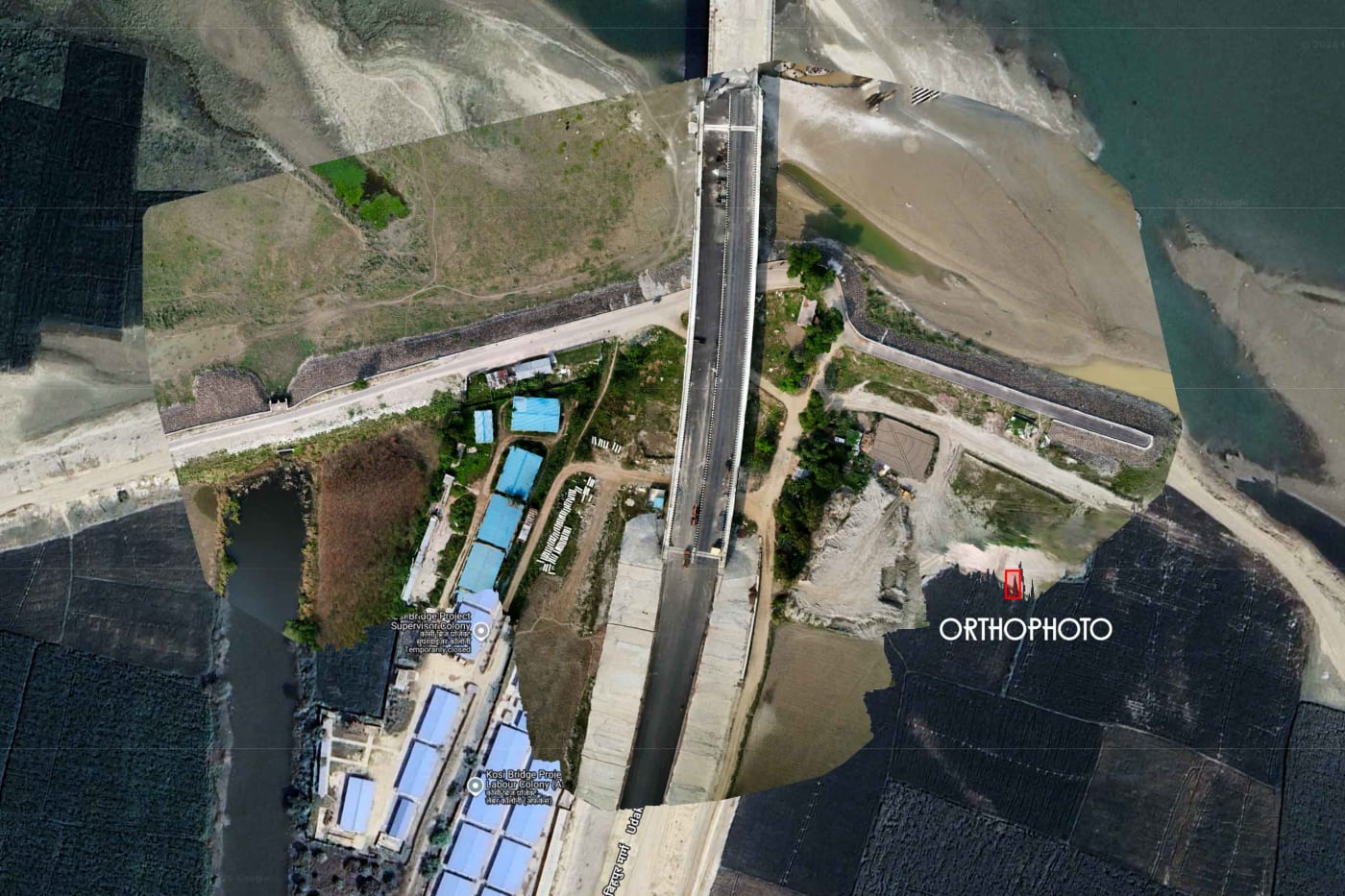
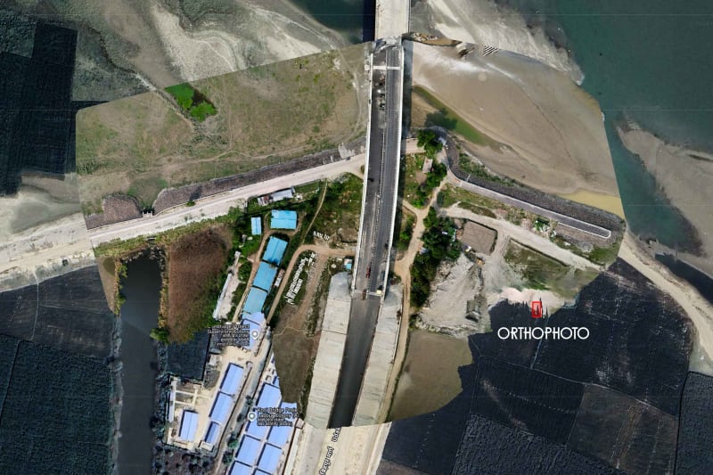
Geo-referenced 2D aerial maps stitched from hundreds of drone frames — survey-grade accuracy for site planning and records.

DGCA-Compliant Aerial Mapping · Bihar, UP, Jharkhand & West Bengal
High-precision aerial land surveys, geo-tagged monthly construction progress monitoring, 3D surface models, and CAD-ready deliverables for civil contractors, builders, and government projects across Bihar, Uttar Pradesh, Jharkhand, West Bengal & Eastern India.
Active On-Site Operations: Bihar · Uttar Pradesh · Jharkhand · West Bengal
Geo-referenced 2D aerial maps stitched from hundreds of drone frames — survey-grade accuracy for site planning and records.
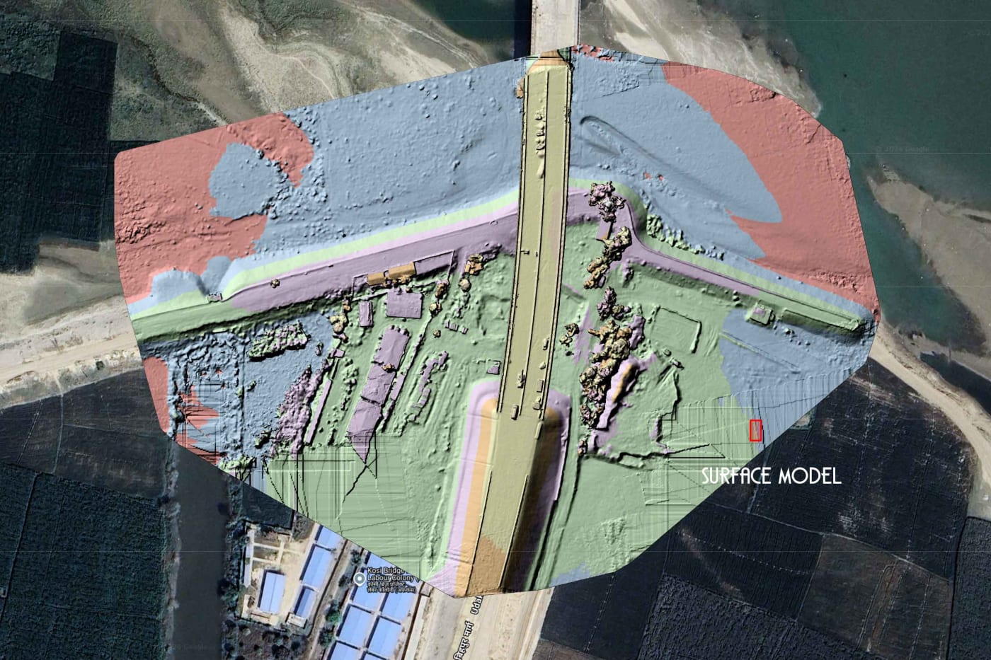
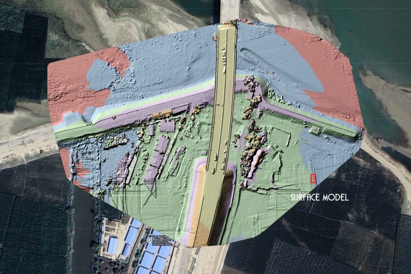
DSM / DEM terrain models with volumetric stockpile calculations — measure earthwork, cut/fill and material volume precisely.
Deliverables in .DWG, .DXF, contour lines and GIS files — ready to drop straight into your engineering and CAD workflow.
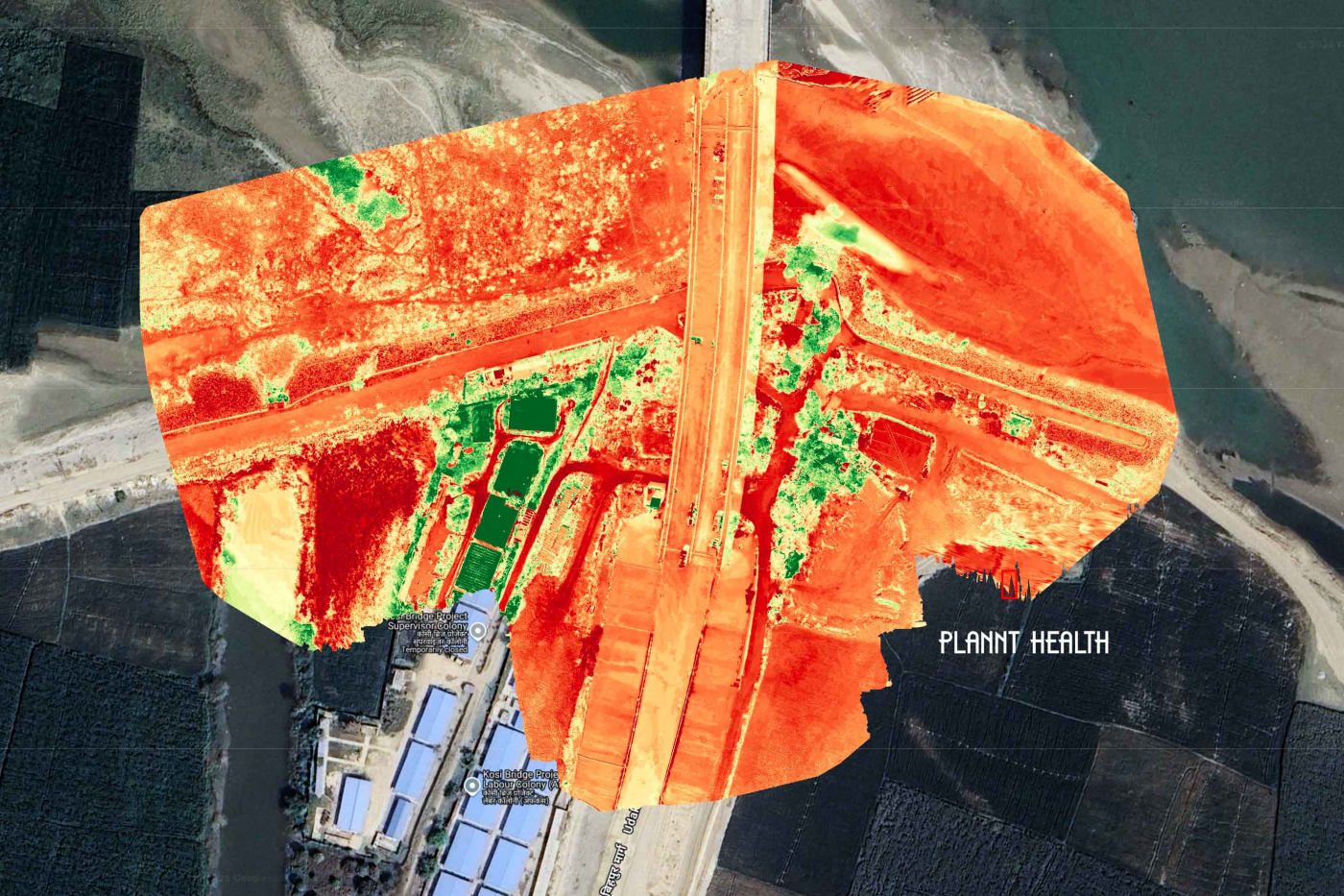
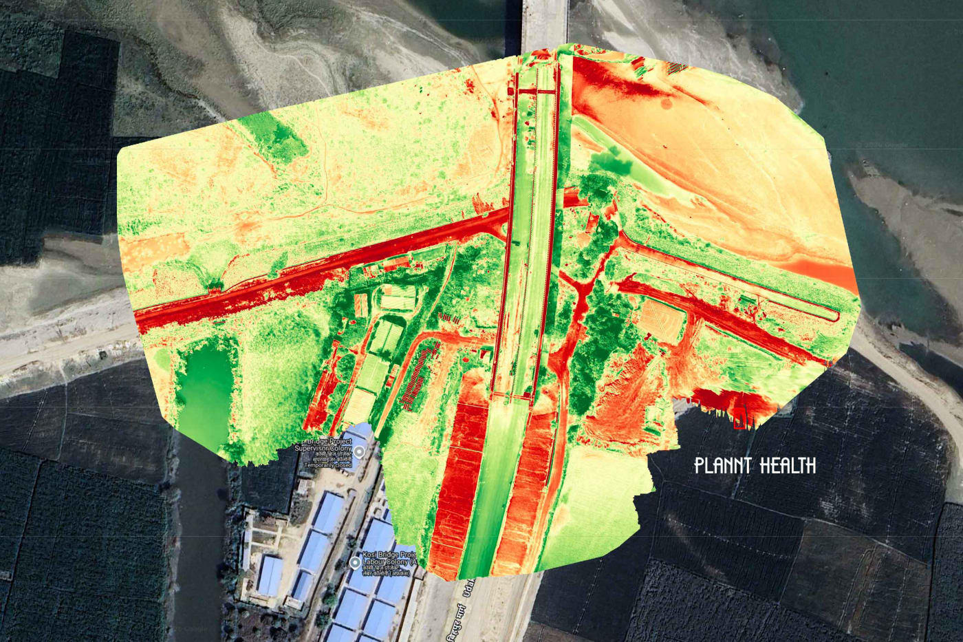
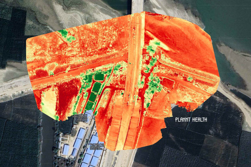
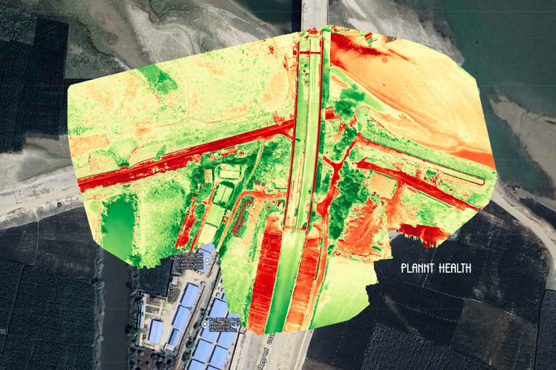
Site planning support and NDVI plant-health mapping for farms, plantations and large infrastructure corridors.
Specialised aerial monitoring built for government departments, civil contractors and infrastructure projects — documented for billing and inspection.
Repeatable automated drone flights along exact road, canal, or building GPS coordinates every month for accurate, consistent progress tracking.
Clean silent technical videos featuring live on-screen GPS coordinates, chainage markers, altitude, date/time stamp, and clear text/infographic subtitles required for government billing and inspection.
Side-by-side split-screen and timeline comparison videos showcasing month-on-month construction progress for roads, bridges, and buildings.
High-impact aerial project presentations, brand stories, and corporate videos for real estate developers, institutions, and businesses across Bihar, Uttar Pradesh, Jharkhand & West Bengal — produced with crisp Hindi/English voiceover narration, background score, and motion infographic subtitles.
Project Showcase & Brand Films
Every aerial survey delivers high-resolution Orthomosaic maps, 3D Surface Models (DSM), and NDVI Plant Health reports. On request, we also publish your site map directly onto Google Maps and deliver AutoCAD-ready (.DWG / .DXF) files so engineers and builders across Bihar, Uttar Pradesh, Jharkhand, and West Bengal can design and construct structures accurately over real site measurements.
Share your project details and we'll respond with scope, deliverables and a quote.